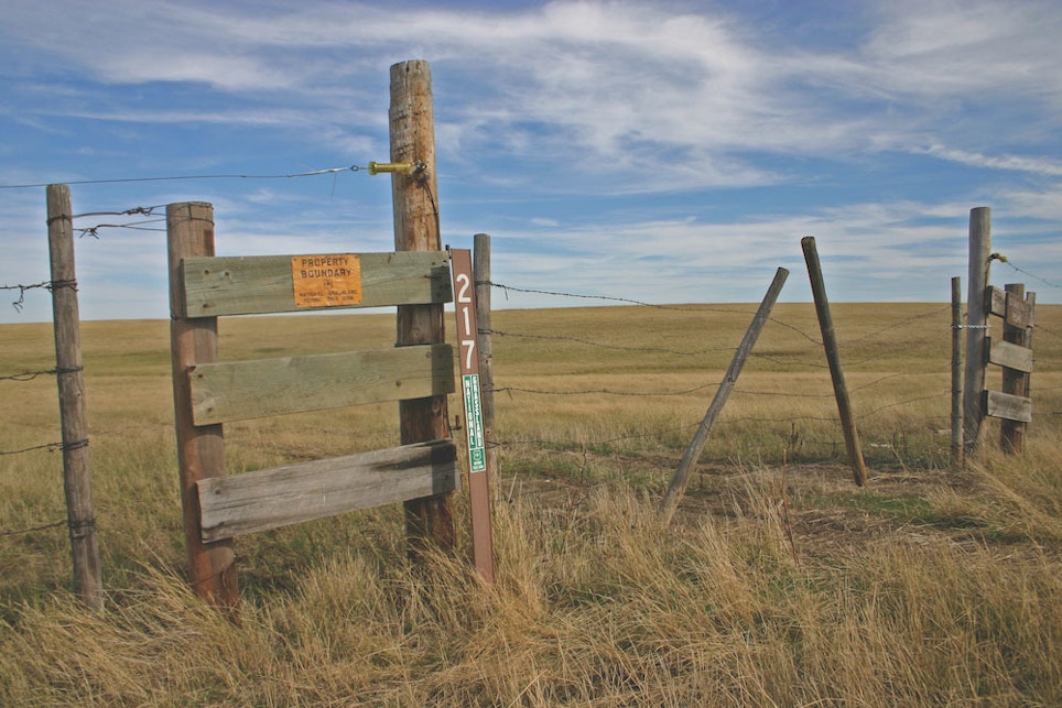
Public land holdings where coyotes are abundant can be found throughout the United States, in the form of BLM, Fish & Wildlife and U.S. Forest Service land; state and national forests; WMAs, Federal grasslands and more. Much of this treasure trove of public land is open to hunting, and much of it is abandoned once big game, waterfowl and upland game seasons are over. As an example, more than 80 percent of all land in Arizona is publicly owned, and much of it is open to coyote hunting. The BLM alone administers 12.2 million surface acres of public lands in Arizona, open to hunting unless otherwise designated. Here’s another. The grasslands of North and South Dakota are inundated by upland bird hunters each fall, but are largely vacant once these seasons expire. This opens huge tracts of land to predator hunters who aren’t afraid to get out and do a little hiking. In the East and the South, lands managed by the National Forest Service and state WMAs provide a good starting point for accessing large tracts of public land.
Here are a few notable options.
Bureau of Land Management … While it’s true that the majority of the land the BLM manages is west of the Missouri River, this agency controls land throughout most of the United States and publishes maps for most of its holdings. — www.blm.gov/maps
U.S. Forest Service … The Forest Service publishes a variety of map products, many of which can be downloaded as PDFs. Interactive online maps are also available, as well as hard copy topo maps. — www.fs.fed.us/visit/maps
Public Lands Information Center … This is a searchable database of publicly held land throughout the West. — www.PublicLands.org
U.S. Fish & Wildlife Service … This agency controls lands open to public hunting throughout the United States. Hunting information and maps are available on its website. — www.fws.gov
Wildlife Management Areas … Contact state wildlife management agencies for information and maps. — www.FishWildlife.org


