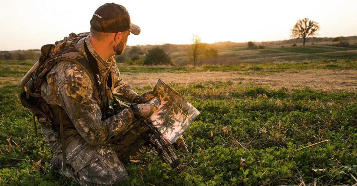
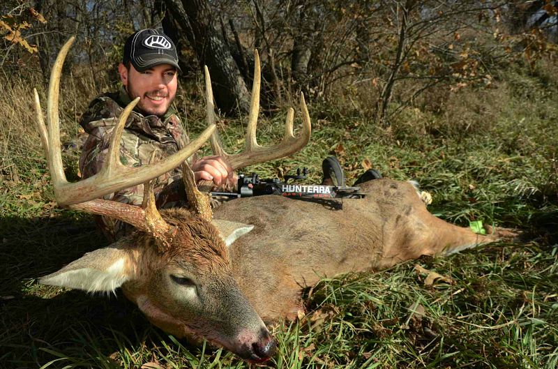
When I first started bowhunting whitetails nearly 2 decades ago, I used every tool to my advantage in an effort to find success. Not only did I study every habit and tendency whitetails possessed, but I also prepared stands well before opening day, established top-notch scent management and had solid entrance/exit strategies. Most importantly, my bow was always tuned with tack-driving precision. But if I had to choose one element that consistently brought whitetails into bow range, it was the time I took poring over maps and aerial photos, zeroing in on particular locations I wanted to scout during the off-season.
A New Weapon in the Arsenal
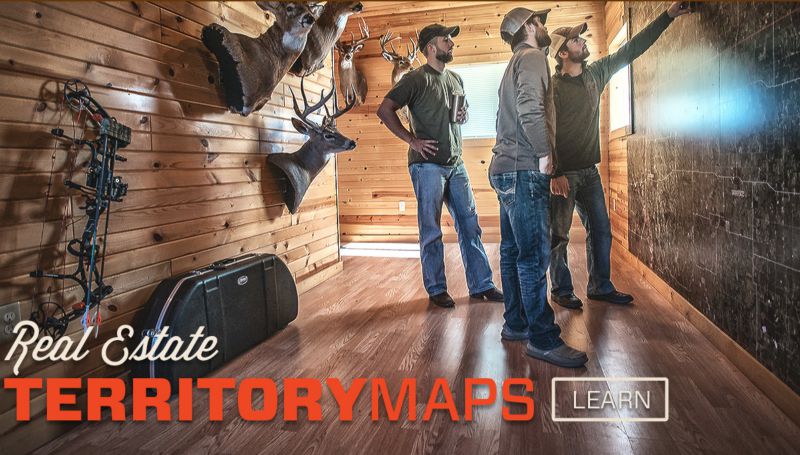
With that in mind, one of the best tools to use before you slip on your boots and go stomping through the deer woods in an attempt to zero in on next season’s hotspot is the new mapping technology Hunterra (www.hunterra.com) has developed. Ben Harshyne, the founder of Hunterra, has brought mapping for whitetails to a whole new level.
After graduating from Penn State with a degree in Geographic Information Systems, Harshyne landed in the nation’s capital to put those skills to work and became the lead cartographer at the National Counterterrorism Center, an organization within the United States Intelligence Community. Harshyne used his mapping expertise to create visual intelligence for counterterrorism efforts around the world.
As his skills developed and technology improved, Harshyne coupled these map-making skills with his love for bowhunting whitetails, and soon after, Hunterra was born.
“Standard aerial imagery will show you a flat picture of the Earth where timber, fields, roads and buildings are distinguishable,” Harshyne said. “However, seeing terrain elevations under those features is vital to truly understand the land you hunt and how whitetails use it.”
Hunterra seamlessly blends these two layers together to provide a natural lay of the land, allowing the user to find key points of interest.
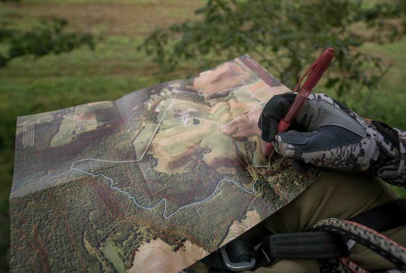
According to Harshyne, Hunterra provides both a macro and micro approach to evaluating the ground you hunt. This way you have the complete picture of the opportunities your property can provide and how you can address potential needs that are exposed. From a macro (big picture) vantage point, you can see how your tract compares to the surrounding area; what is scarce and what is abundant as far as food, water and cover is concerned; and what general travel patterns whitetails are using.
Harshyne says from a micro, more detailed approach, zooming in on your particular property with Hunterra technologies identifies subtle changes in cover, elevation and edge details that are important to whitetail movement, as well as helps you nail down the best access points that allow you to use the cover and elevation changes to your advantage. This will also help you identify key funnels like ditches, creek bends and bottle necks.
More importantly, the micro approach helps you understand the wind patterns a particular property may have based on the elevation changes and cover it offers. Wind currents flow the same way water currents do, moving predictably over high spots like ridges and hills, and swirling in low-lying calm pockets like valleys. Not only does this allow you to eliminate poor wind areas, but also to identify better, more predictable ones, and where mature bucks have wind advantages.

Hunterra maps are available in many versions, from smaller field maps to mid-size poster maps to massive territory maps designed for the walls of land managers and outfitters.
Putting It All Together
Once you’ve studied mapping tools and have a good macro and micro picture of your property, it’s time to put the pieces together. Personally, I first like to walk the perimeter of the property, noting features on both my property and the neighbor’s. Although you don’t have access over the fence, it goes without saying that deer travel zones don’t recognize boundaries. During this process I’m looking for subtle changes in cover or elevation and any significant travel corridors. I also look for neighboring hunting pressure so I can better predict how deer may react to it.
Once you’ve spent time on the property edges, it’s time to go deeper with the purpose of understanding how deer use the property. Find the best travel corridors you’ve located on your map and then follow them to their conclusion. During this process note primary scrapes, licking branches and rubs you come across, as well as the lack of such evidence. You’ll also want to note potential mast crops such as acorns and fruit trees.
Confirming potential bedding areas is also a must, as well as food sources. Although food sources may change next season, this information will likely give you key intelligence of seasonal deer movement.
Finding and understanding thick, brush-choked bedding areas can mean the difference between a punched tag resting on a Pope & Young candidate next season or the sour memories of an unsuccessful hunt. Late winter and spring are the times to penetrate these areas and dissect them.
Hunterra Founder Ben Harshyne knows the value of proper scouting and topnotch maps.
I like to pinpoint specific locations in and out of these areas that link to potential feeding areas, but I also want to confirm actual beds in them. Generally speaking, a large defined bed means an older-class buck is living there, and clusters of beds identify family groups of does. During the rut, you may want to focus more on doe bedding areas, but prior to that, identifying a buck bedding area may lead to success earlier in the season.
Lastly, don’t leave the late-winter or spring woods without determining some potential stand locations and preparing them for next season. With the lack of summer and early fall foliage, it will be easier to establish shooting lanes and address any blind spots you might want to eliminate. Cleaning these locations, as well as the access points used to get to them, will allow you to slip in and hang a stand without having a significant impact on the deer movement during hunting season.
Check out the 30-second video below for a product spotlight on the Hunterra Field Map.